Eidfjord Hike for Cruise Passengers
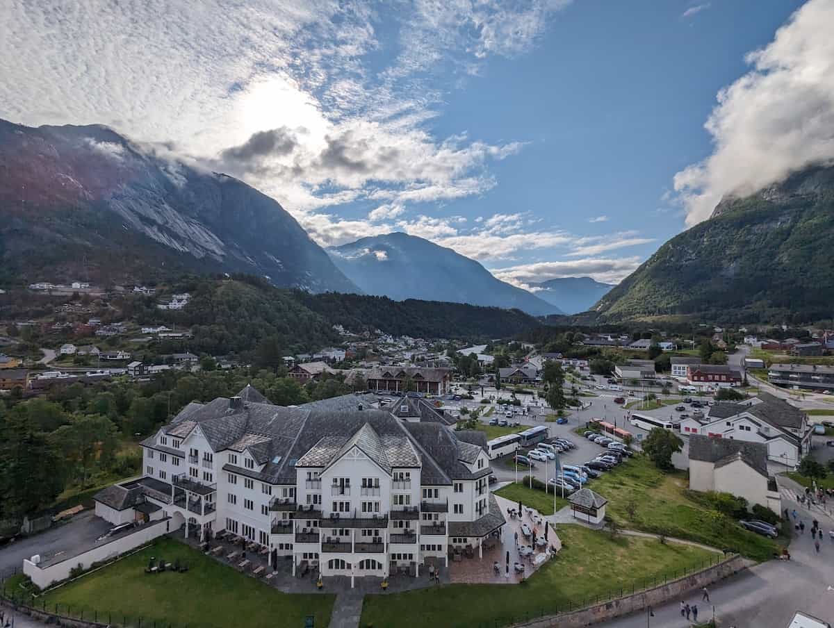
Eidfjord is a beautiful port for cruises in Norway. The town itself is quite small (but there is a grocery store). If you don’t want to do an excursion and instead just explore the area on your own, you are in luck.
There is a wonderful loop that takes about 90 minutes to walk/hike (though can be done faster). The full loop is about 3.5 miles (5.5 km) with about a 375 ft elevation gain. If you wish to avoid any hills, you can also hike the first portion and then turn back. You can also do the loop in reverse order. I actually did it in the reverse order as you get the uphill part out of the way at the start. But it is up to you. I’ll list the directions as I saw most people doing the loop.
Cruise Dock to Sand Beach
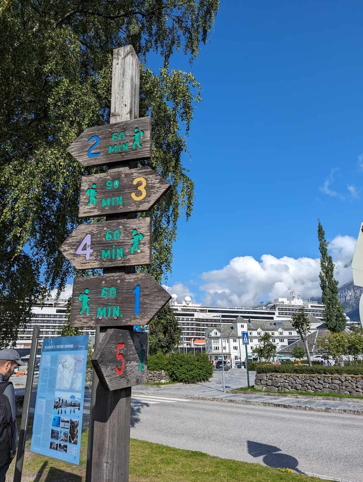
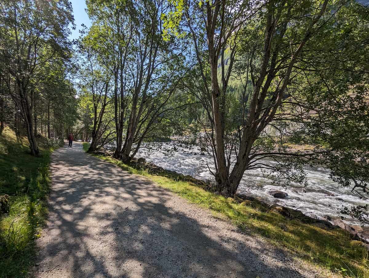
The first portion of the walk is nearly flat and very easy. As you get off the cruise ship, the town will be straight ahead. There is a sign that shows various hikes — you’ll be taking the Yellow Train but I didn’t find this sign very helpful. I’d simply ignore the sign in the town.
Walk down the main street in town and look for the YX Gas Station sign.
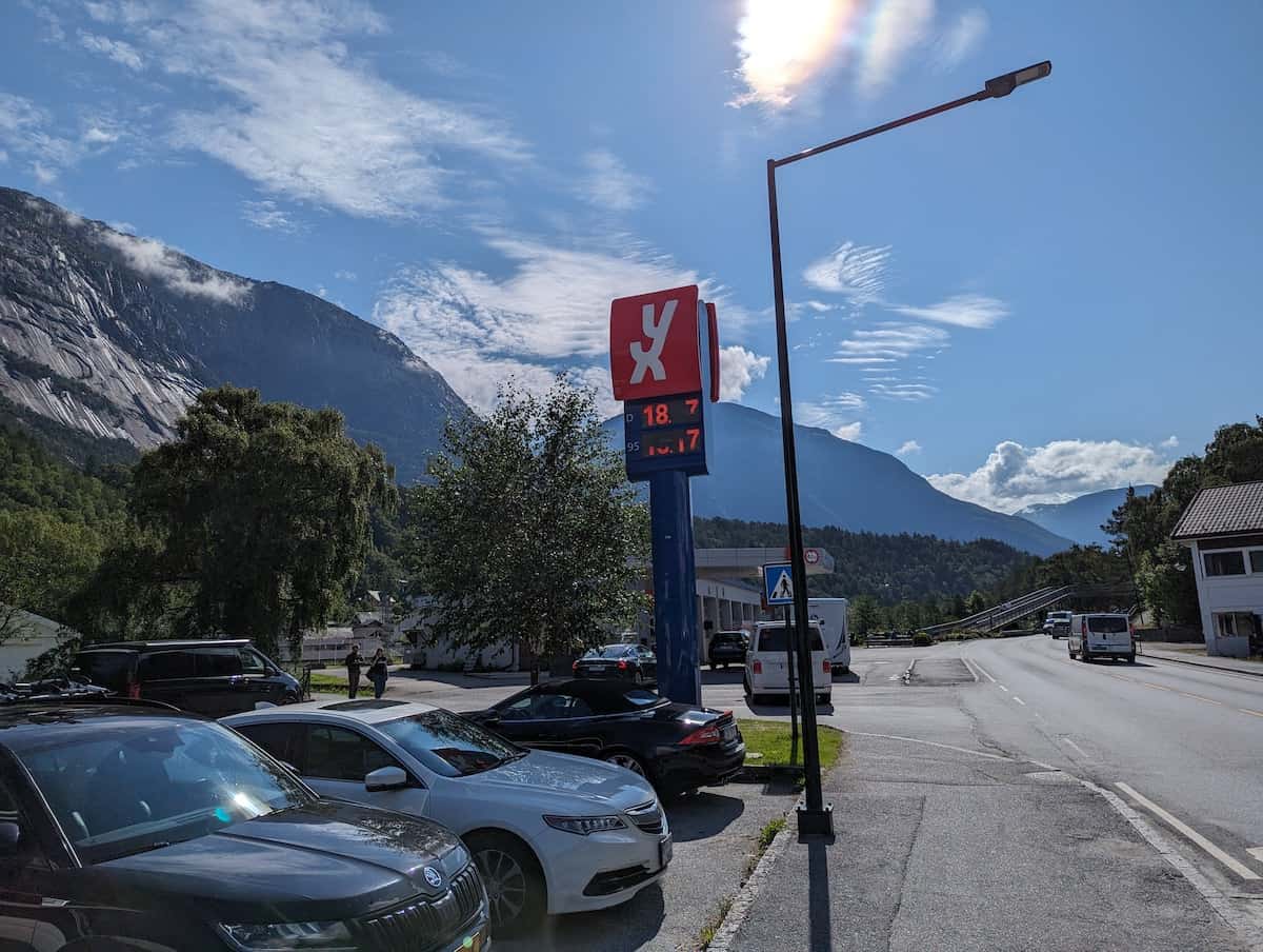
At the YX sign, take a left and cross the river on the pedestrian bridge.
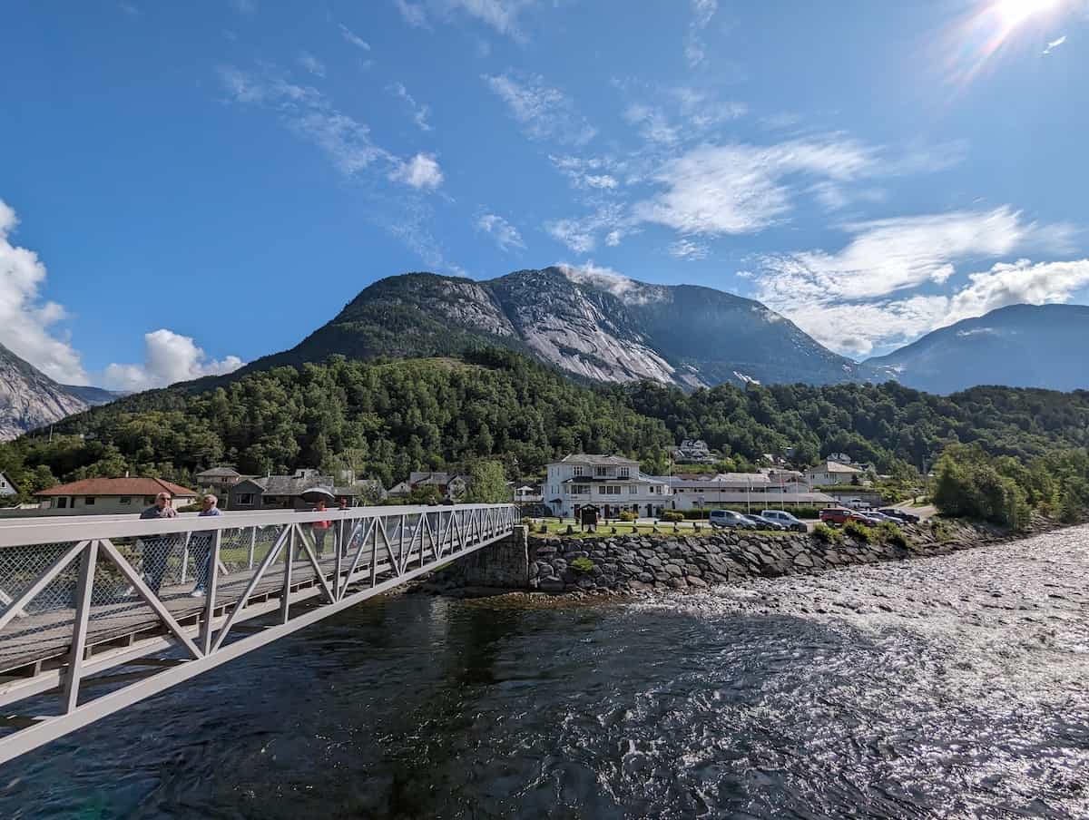
Once across the river, turn right on the first street and follow this until it becomes a foot path.
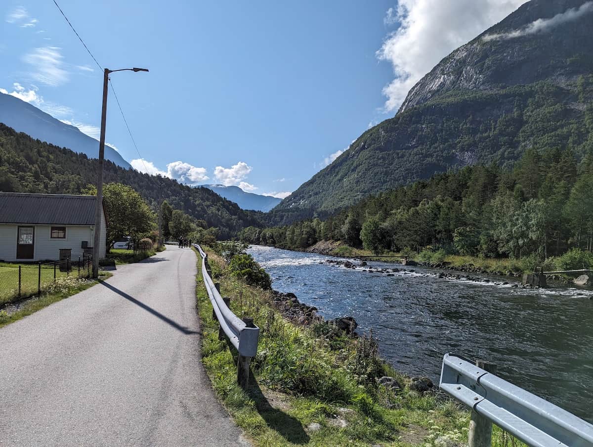
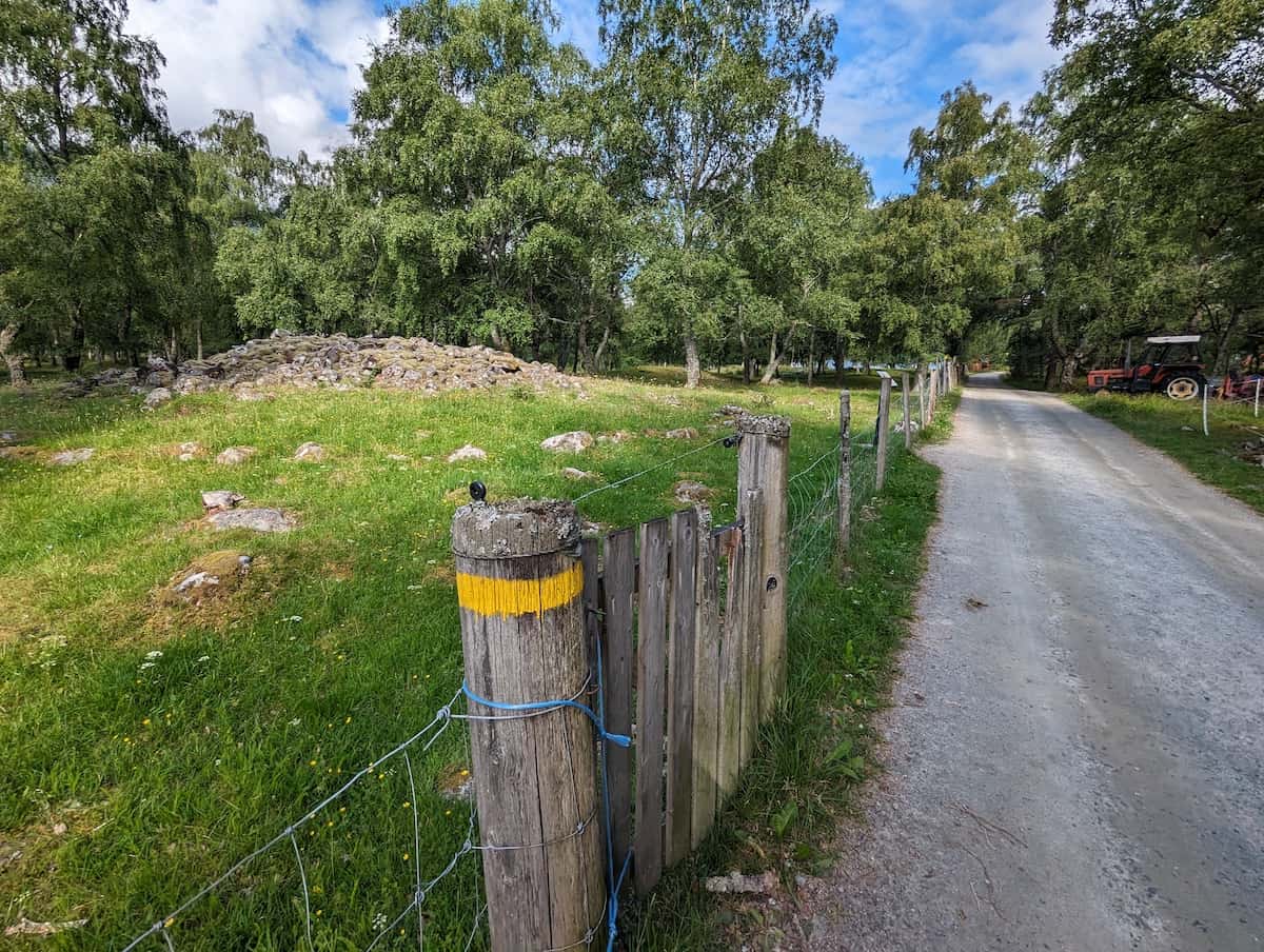
You’ll notice throughout the walk that the path is marked with yellow stripes on poles. Just keep on going.
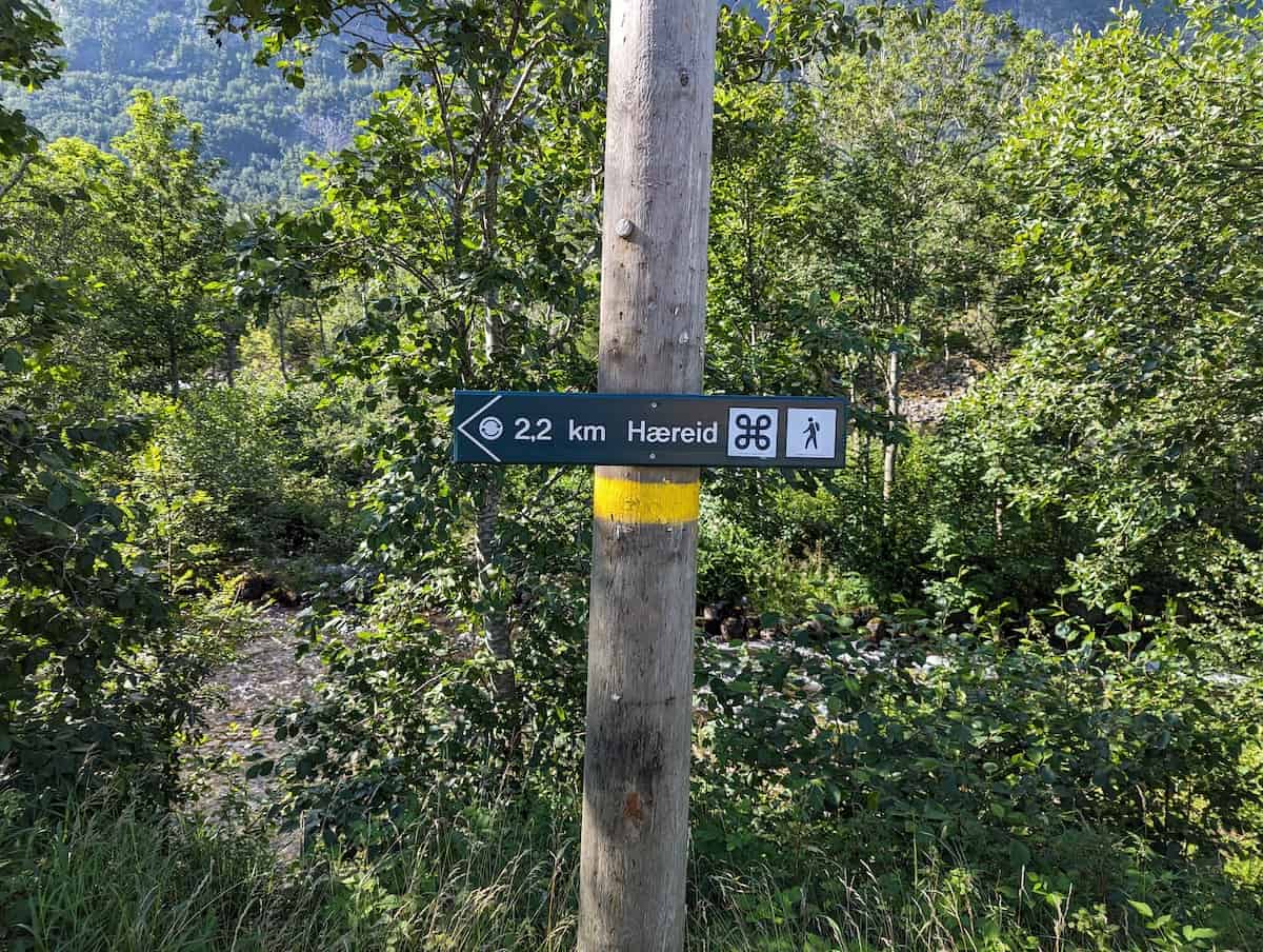
The foot path follows the river for one mile until you reach the sand beach. It is very flat and well marked and maintained.
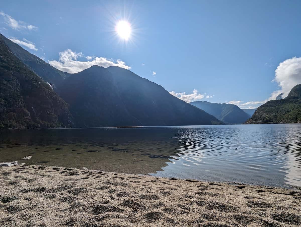
People were sun bathing and swimming during my July visit.

Now you can decide to walk back the way you came or start the uphill climb.
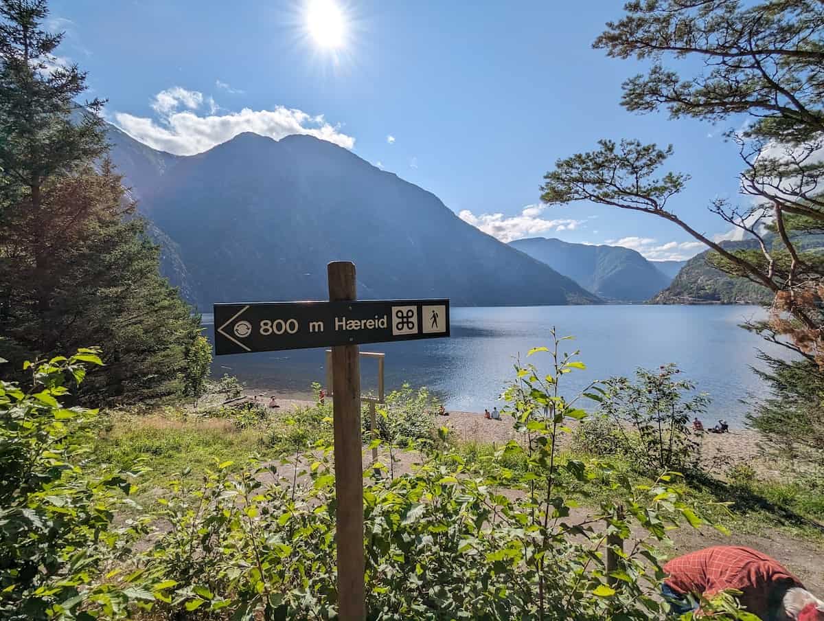
Sand Beach to Burial Ground
From the Sand Beach, get back on the path that you came in on that runs parallel to the beach.
The path begins to climb through the forest towards the burial grounds.

It is roughly 0.5 miles from the beach to the burial grounds but it is all uphill. Just keep following the yellow stripes; it is just one path and you can’t get lost.

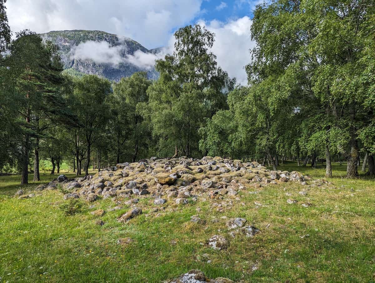
At the top of the hill you will reach the burial grounds. There is an additional loop through the grounds or you can continue on the main path. You are able to see the burial mounds from the main path.
Burial Grounds to Overlook
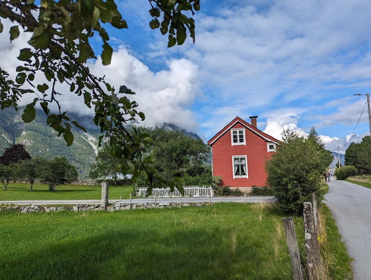
The good news is that you are now done with the uphill portion. The next mile from the Burial Grounds to the Overlook is flat. It goes through a neighborhood of homes. It really is just one road.
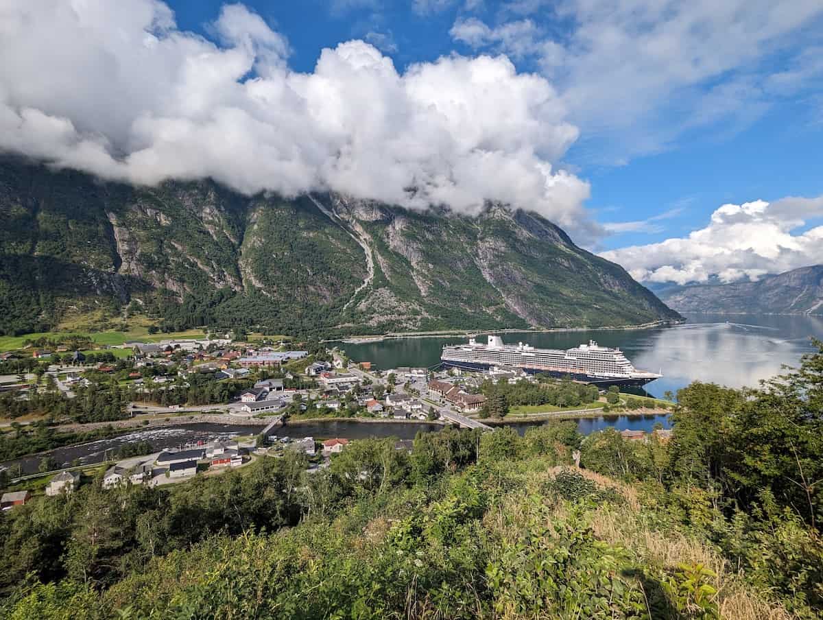
The overlook will be down a path on the left just before the road starts downhill. This is the best spot for photos of your ship.
From the overlook it is downhill back to the ship. There is a small steep path directly below the overlook you can go down or you can walk back to the road. It is 0.5 miles downhill through houses and residential area, it doesn’t really matter which way you go as long as you are continuing downhill you will get back to town.
Now grab some ice cream or a coffee in town or hop back on the ship for a nap. You’ve earned it!